Usability Evaluation of Web-based Mapping Applications
Method: Usability Testing
Tools: Morae
Introduction
Web-based mapping applications use web technology to deliver geospatial information and data to users. These applications are intended for a broader range of users who may have little experience of GIS (Geographic Information Systems). Web GIS bring great opportunities for geospatial information seeking in digital libraries.Many applications’ data representation and interaction paradigm were inspired by systems for expert users, which creates challenges for novice users.
Method
I conducted usability evaluation of six popular web-based mapping applications, including:
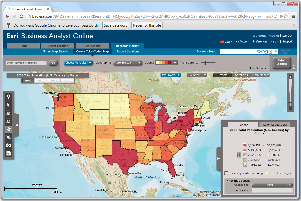
- ESRI Business Analyst Online:
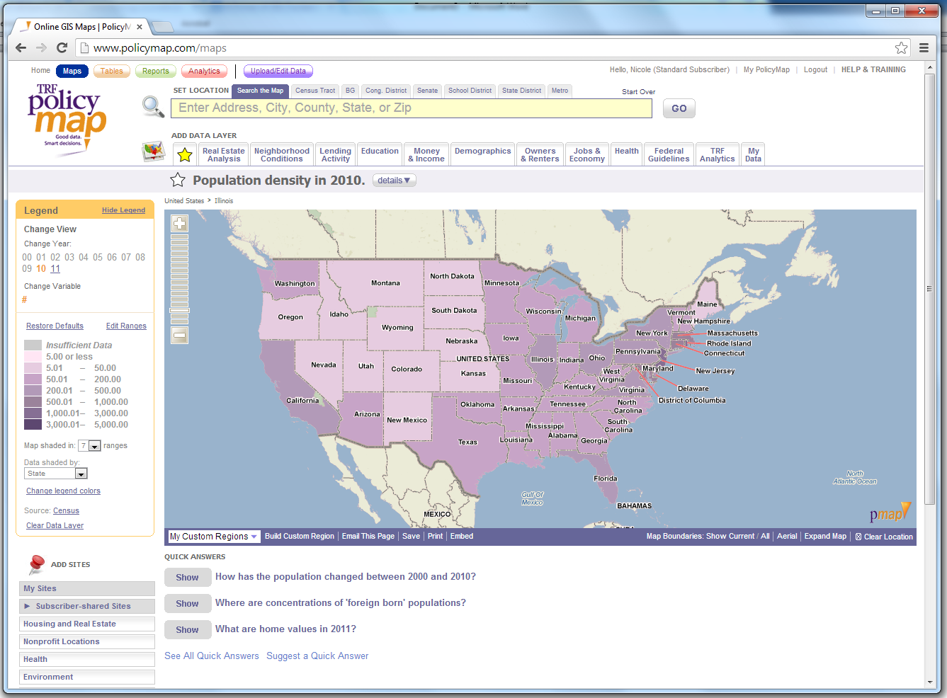
- PolicyMap:
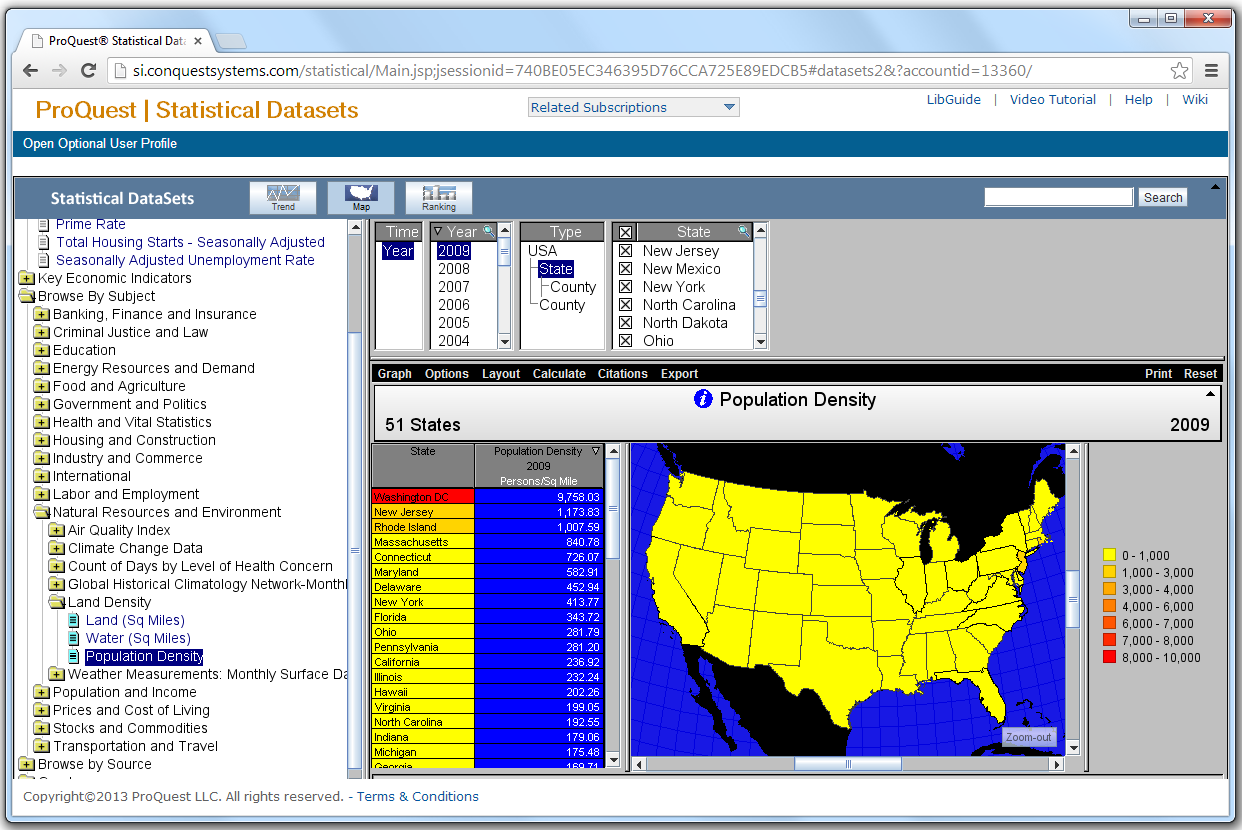
- Proquest Statistical Datasets:
- Reference USA:

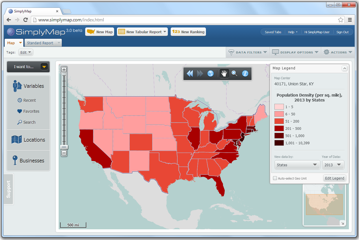
- SimplyMap:
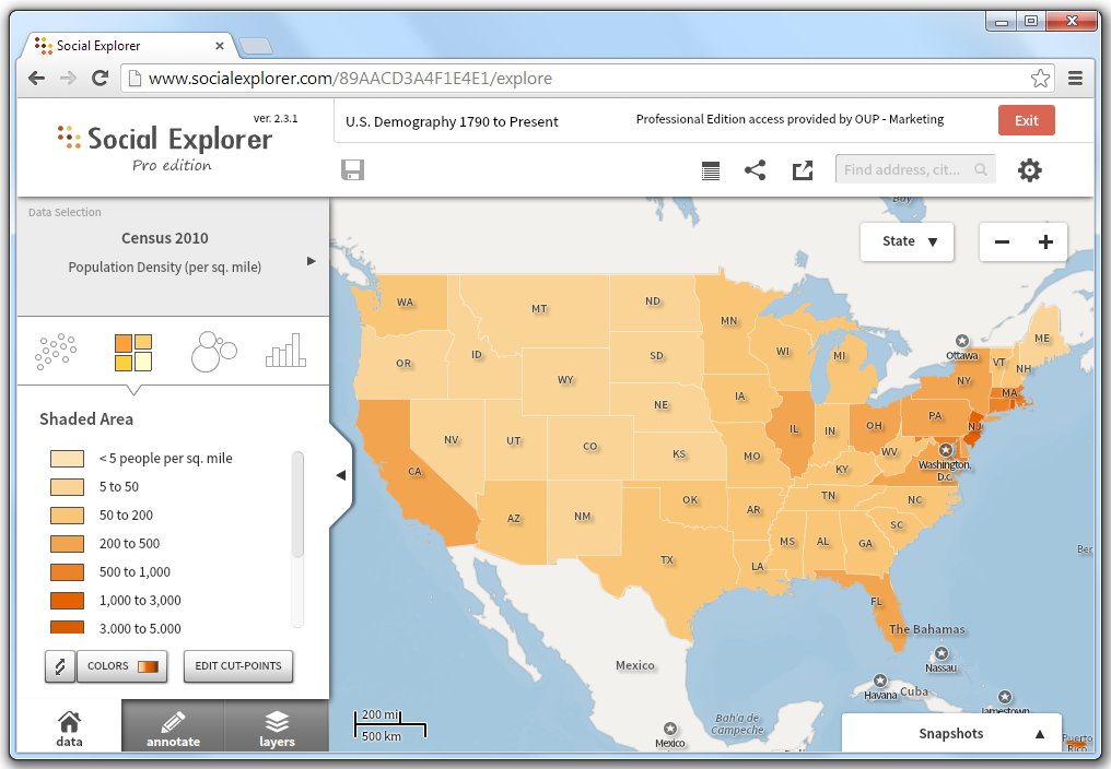
- Social Explorer:
We recruited 18 students at Purdue to perform six tasks:
- Create a customized map of business information in Indianapolis, IN;
- Change the map unit to display the information by zip code;
- Change the colors of information areas on the map;
- Change the data ranges corresponding to the different colors;
- Search for another location on the map;
- Export and save the map.
We collected the following response measures:
- Score of the successfulness of each task;
- Time to complete each task;
- Number of times help or prompts were needed for each task;
- Number of times errors occurred for each task;
- Participants’ usability ratings of each application, measured by the System Usability Scale (SUS);
- Participants’ comments during the evaluation.
Results
Our evaluation showed that participants encountered the most difficulties and confusions during the first ‘creating a customized map’ task and the last ‘exporting map’ task. An important reason is the lack of appropriate guidance on action sequence for new users (i.e., learnability was not well supported). Some applications require time to export maps, thus an effective file-ready notification design is important.
Project Report
The summary of usability findings for each application is below.
Download the summary of usability findings for each application.
Download the user evaluation report for detailed project results.
Related publications
Kong, N., Zhang, T., & Stonebraker, I. (2015). Evaluation of Web GIS Functionalities in Academic Libraries. Applied Geography, 60, 288-293.
Kong, N., Zhang, T., & Stonebraker, I. (2014). Common metrics for evaluating web-based mapping applications. Online Information Review, 38(7), 918-935.
Zhang, T., Kong, N., and Stonebraker, I. (2014). Usability Metrics of Web-based Mapping Applications. Poster presented at the Digital Library Federation Forum, Atlanta, GA. October 27-29, 2014.
Kong, N., Zhang, T., and Stonebraker, I. (2014). Functionality and Usability Evaluation of Web GIS in Academic Libraries. Presentation at the 37th Applied Geography Conference, Atlanta, Georgia. October 15-17, 2014.